Geospatial
Video intelligence for logistics operations
Summarizing anomalies across vast areas without losing context

Automated dataset labelling
Transform raw robotics footage into labeled datasets instantly with precise timestamps and entity identification.

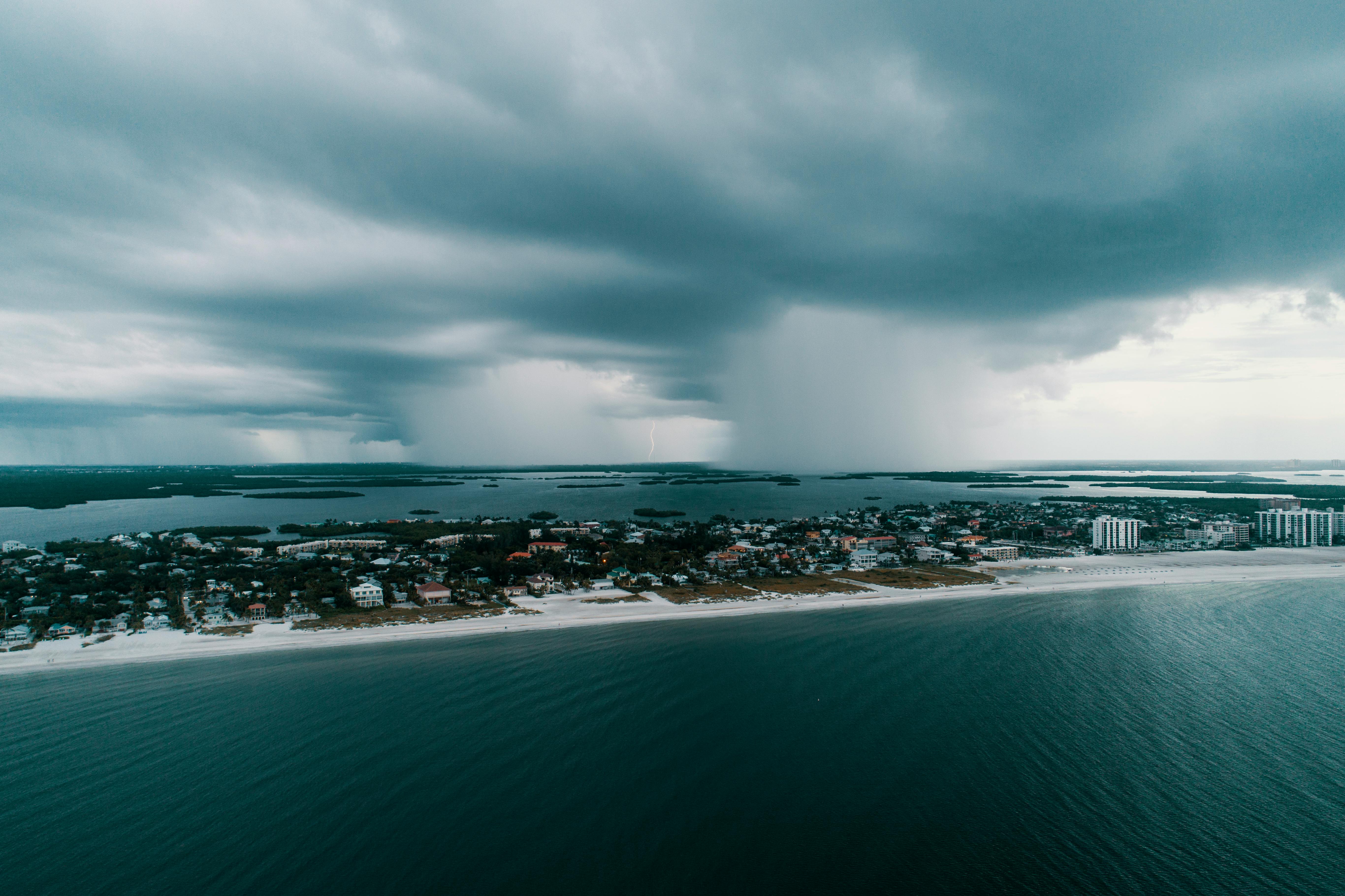
Identify patterns and weather anomalies
Tracking natural disasters and unexpected behaviors near critical infrastructure